Mission-Critical Features
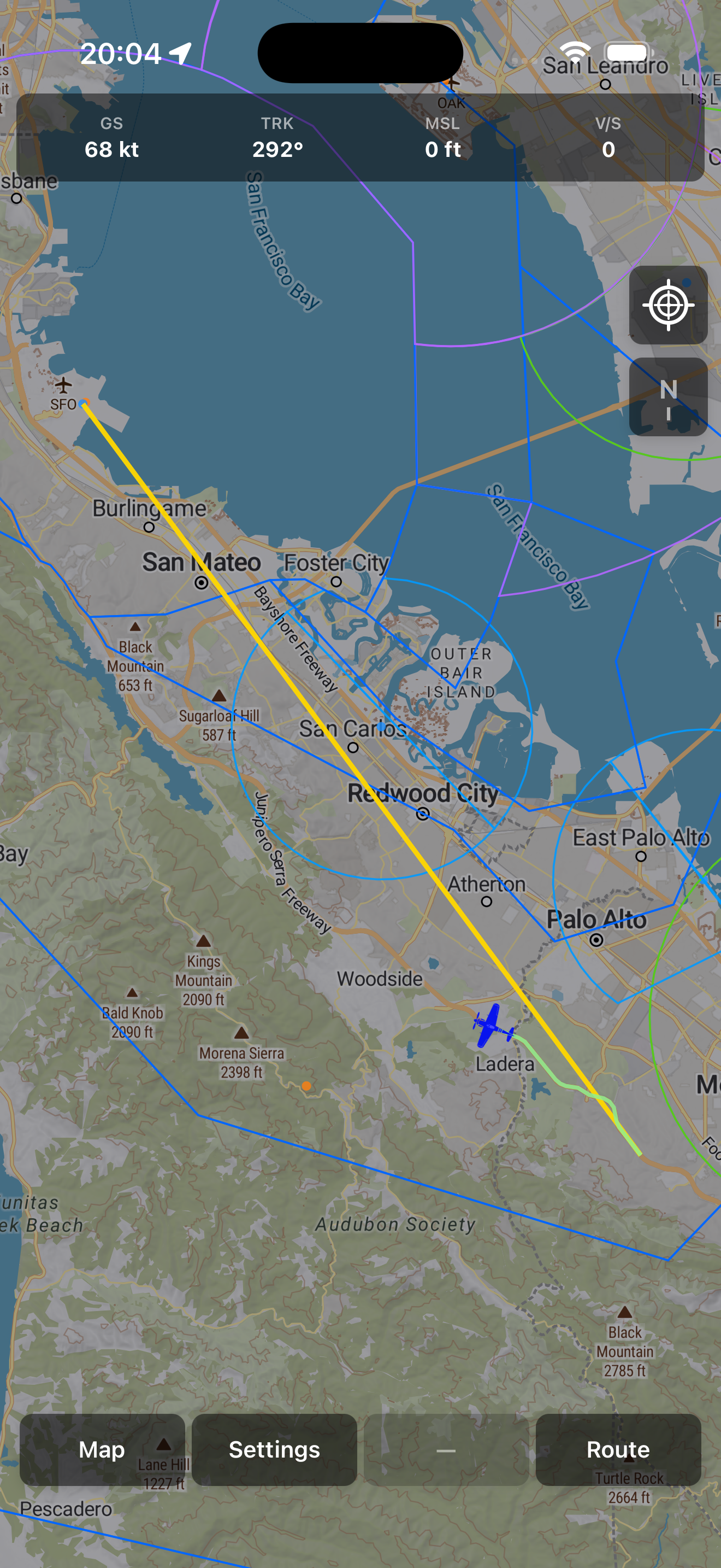
Intuitive Mapping
Explore responsive, interactive maps featuring global airspaces and navigation aids.
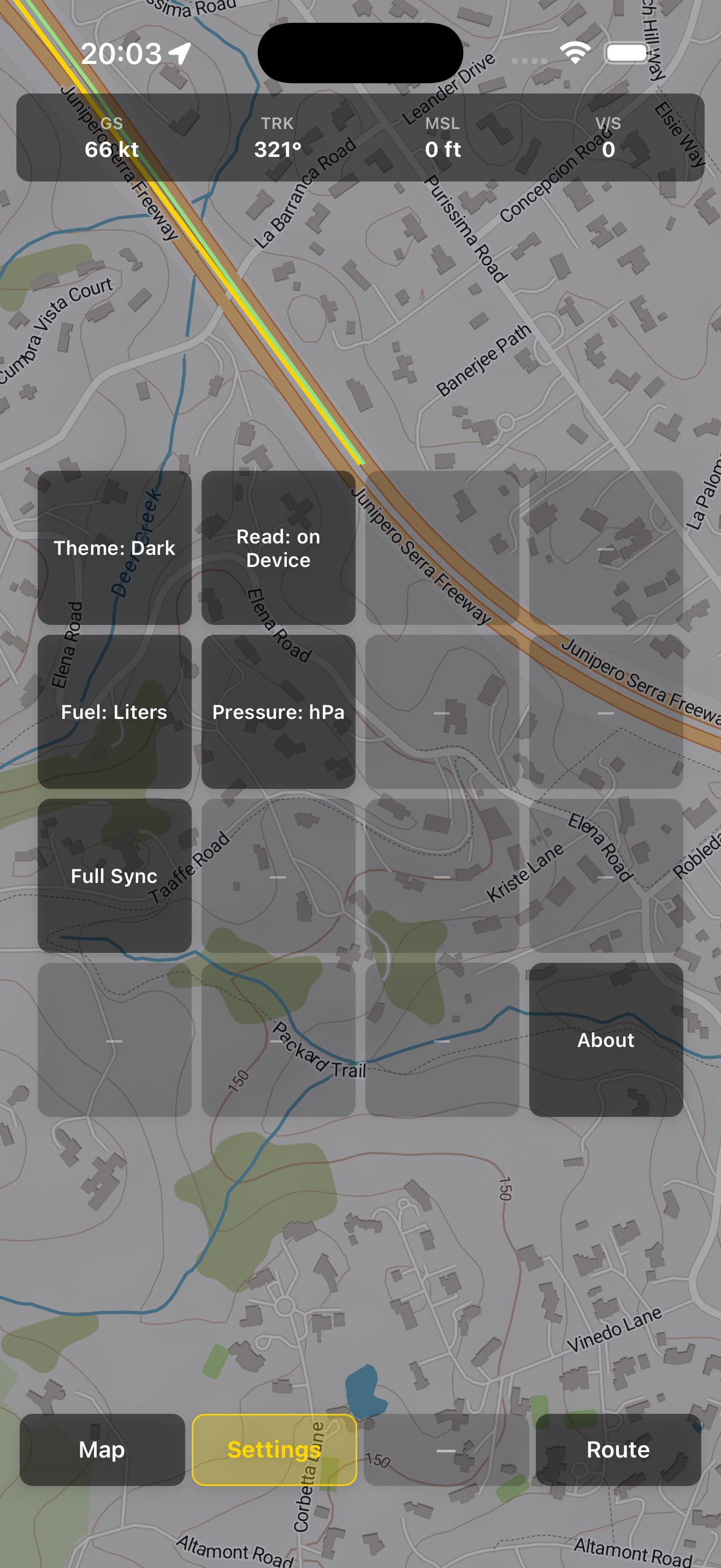
Offline-Ready
Download and sync critical flight data to a local SQLite database for reliability at altitude.
Live Intelligence
Real-time displays of GPS position, ground speed, altitude, and climb rate.
Heads-Up Mode
Keep your aircraft centered with "follow-me" navigation to reduce workload during busy phases.
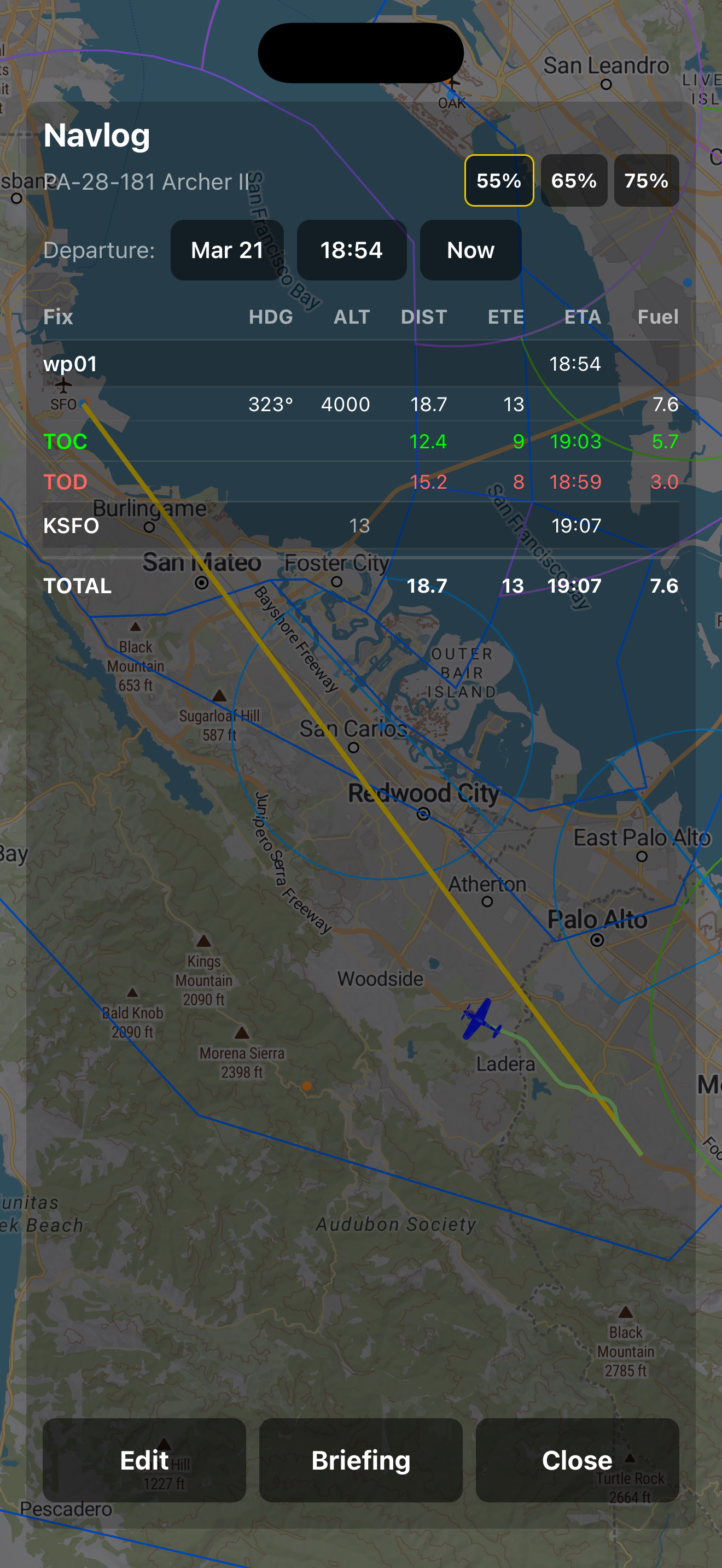
Flight Tracking
Visualize your active flight track to maintain superior awareness of your surroundings.
High Performance
Built with FastAPI and PostGIS for lightning-fast responsiveness.